Broadband coverage
Ministerio de Asuntos Económicos y Transformación Digital
Annual data on broadband coverage in Spain disaggregated by different territorial levels (Autonomous Regions and Provinces).
INFORMATION:
Given the high penetration in ultra-fast broadband networks, in 2021 it has become necessary to implement a new methodology for calculating coverage and identifying eligible areas. For this, the objective geographic unit for characterizing the coverage has become the cadastral parcel, separating it from the singular population entity.
Additionally, this year a more realistic approximation has been made for the calculation of dwellings, using for the first time the data provided by the Dirección General del Catastro, which generally offers figures for dwellings that are higher than those estimated in previous years that were taken as a source to the INE. As a result of this change, taking into account that the number of dwellings is the denominator in determining the coverage percentage, the coverage ratios referring to cadastral dwellings will, in general, be lower than those that would be obtained by applying the dwelling data. INE used in previous years.
Consequently, the coverages shown for the year 2021 are not directly comparable with those of the reports of previous years.
The Secretaría de Estado de Telecomunicaciones e Infraestructuras Digitales annually compiles detailed information on the broadband coverage provided by the different existing operators in Spain, in application of the provisions of article 2 of Royal Decree 462/2015, of June 5. Based on the information on the situation and the 3-year forecasts reported by the operators, the areas that meet the conditions to be considered as white areas or, from 2020, as gray areas at less than 100 Mbps, are identified. adding from 2022 the identification of gray areas with speeds between 100 Mbps and 300 Mbps. For more information Zonas NGA
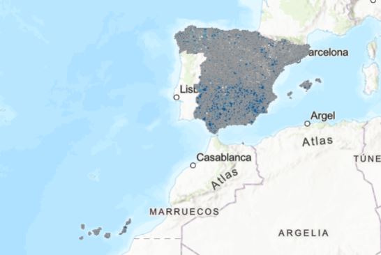
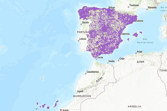
If you would like to view the broadband coverage data on a map at municipal level, you can find them by clicking on the maps that follow.
Definitions
Broadband coverage
Geospatial broadband coverage in Spain, which allows the user to find out about data connection provision by type of technology (fixed/mobile) and transmission speed, at different territorial levels, descending to municipal scale. For more information, you can consult the reports on broadband coverage in Spain published by the Ministry of Economic Affairs and Digital Transformation.
Broadband technology
The technology that makes it possible to offer broadband services includes networks of digital subscriber lines over copper pairs (ADSL and VDSL); those of cable, with hybrid solutions of fiber and coaxial (HFC); fiber optics to the home (FTTH); the radioelectric ones based on WiMAX; and mobile networks 3.5G (UMTS with HSPA), 4G (LTE) and the new generation of ultra-fast mobile networks 5G.
Broadband speed
Broadband speed is presented with information on aggregated coverage in Fast Broadband (≥ 30 Mbps) and Ultrafast Broadband (≥100Mbps).
Definitions
NGA white areas
Those that are not covered by new generation broadband networks, and there are no forecasts indicating that such provision will be provided by any operator within the next 3 years, based on credible investment plans.
NGA grey areas
Those in which cover is already available, or is expected to be available, within the next three years, but where that coverage is or will be provided by a single operator who is not capable of providing broadband services at speeds of 100 Mbps or higher downstream.